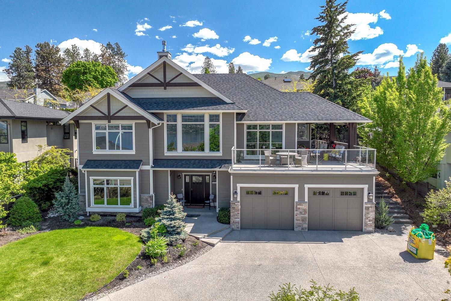
Drone video is worth it for a Canadian real estate listing when the property has something a ground-level camera cannot show: acreage, waterfront, a backing ravine, a large lot in a dense neighbourhood, or a home whose street presence undersells its true setting. For standard urban condos or row houses on a grid street, drone footage rarely changes a buyer's decision and the cost is hard to recover. The answer is almost always about the land, not the structure.
What kinds of properties actually benefit from aerial video?
A property benefits from drone video when its most compelling feature is visible only from above or at a distance. Rural acreage, lakefront and riverfront homes, properties backing onto conservation land or golf courses, large corner lots, and homes with significant outbuildings all photograph better from the air than from the street. Multi-unit income properties also benefit when the lot size and building footprint tell a stronger value story than the interiors alone.
- Waterfront and lakefront homes — the dock, shoreline, and water access are the headline feature
- Acreage and rural properties — lot boundaries, topography, and outbuildings are invisible from the ground
- Ravine, greenbelt, or conservation backing — buyers want to see exactly how much green space is there
- Large urban lots — a 60-foot lot reads very differently from the air than from a sidewalk
- New construction and pre-sale developments — progress shots and site context matter to buyers purchasing off-plan
- Income and multi-unit properties — parking ratios, lot coverage, and neighbouring density all show clearly from above
Conversely, a 900-square-foot condo, a semi-detached in a tight infill neighbourhood, or a bungalow on a standard 25-by-120-foot lot will almost never justify the spend. The aerial shot simply shows a roof and a street — information a buyer already has from a map.
When is drone video worth it for real estate listings in Canada given the regulatory costs?
Drone video in Canada carries real regulatory overhead that US guides ignore entirely. Transport Canada requires any drone used commercially — including real estate marketing — to be flown by a pilot holding a valid Remotely Piloted Aircraft Systems (RPAS) certificate. Basic Operations certification covers uncontrolled airspace below 400 feet and away from bystanders. Advanced Operations certification is required for controlled airspace, flying near aerodromes, or flying over people. Most major Canadian markets — the Greater Toronto Area, Metro Vancouver, Calgary's inner city, Ottawa near the airport — sit inside or immediately adjacent to controlled airspace, which means your pilot needs an Advanced certificate and may need a specific flight authorization through Transport Canada's NAV DRONE portal before the shoot even begins.
This matters for your budget and your timeline. An Advanced-certified pilot commands a higher day rate than a Basic-certified one, sometimes meaningfully so. Flight authorizations in busy airspace can take days and are occasionally refused or restricted on short notice. If you list a home near YYZ, YVR, or YYC and assume you can book a drone shoot for the following morning, you may be disappointed. Build the authorization window into your pre-listing schedule — at minimum a week of lead time in controlled zones. The pre-listing checklist for real estate agents is a useful place to add those lead times so they never catch you short.
Practically, the regulatory reality means your all-in cost for a compliant drone session in a major Canadian city — pilot, equipment, authorization, editing — often runs higher than many agents budget. That cost is entirely reasonable on a $2-million waterfront property. On a $650,000 suburban semi, the math is harder to defend unless the seller specifically requests it and understands they may be absorbing the expense.
How do you frame the drone conversation with a seller without overselling it?
The right conversation tells sellers what drone footage will and will not do for their listing. It is a tool for properties where geography is a selling feature, not a universal upgrade that commands a higher sale price. When the feature fits, lead with the specific benefit rather than the technology: "I want buyers to see how much green space you actually have behind the fence line — that is genuinely hard to convey at street level." When the feature does not fit, say so plainly rather than recommending it as a default premium add-on.
A script that works in most situations: "I'll recommend drone footage when I think it will genuinely change how a buyer perceives the property — when the lot, the setting, or the surroundings are part of what you're selling. For a home like yours, let me walk you through exactly what it would show and whether that changes the story we're already telling with the interior photos."
That framing protects you from two problems: over-promising on a listing where drone adds little, and under-serving a seller whose property genuinely needs aerial context. It also positions you as someone who thinks about marketing strategically rather than checking boxes. Pairing strong aerial footage with equally strong interior photography is what actually moves buyers — if the inside photos are weak, no amount of sky-high footage rescues the listing. Our guide to listing photo rules every Canadian agent must know covers the standards that apply to all your visual media, including drone stills used in MLS submissions.
How does drone footage fit into a broader listing-media strategy?
Drone video earns the most when it is part of a coherent package rather than a standalone clip uploaded to a property page. A short aerial clip that opens a listing video, establishes the lot and setting, then cuts to interior walkthrough footage gives buyers an immediate spatial orientation that static photos cannot provide. That combined format performs consistently well on social platforms and in email campaigns to your buyer database.
The footage also has a longer shelf life than most agents use. Neighbourhood overview shots filmed during a listing can be repurposed for market-update posts, community content, and neighbourhood pages on your website months after the property sells. If you are building area-specific content to attract future seller leads, aerial footage of a particular street or community is genuinely evergreen. For ideas on how to structure that content, our guide on what to put on a neighbourhood page covers exactly that approach.
Distributing drone content effectively means having a workflow that handles video across your listing syndication, your social channels, and your property websites without manual re-uploading to every platform. Qlarify's listings platform is built to centralize that distribution so a single media package — stills, aerial clips, floor plans — reaches every channel from one place. That matters most on premium listings where the marketing window is short and every day the content is not live is a day buyers are not seeing it.
The short version: spend on drone video when the land or setting is the story. Know your pilot's certification level before you book in a major market. Build authorization lead time into your pre-listing schedule. And make sure whatever footage you capture is part of a distribution plan that actually gets it in front of the right buyers — because great footage sitting in a Dropbox folder helps no one.